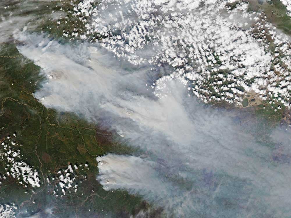
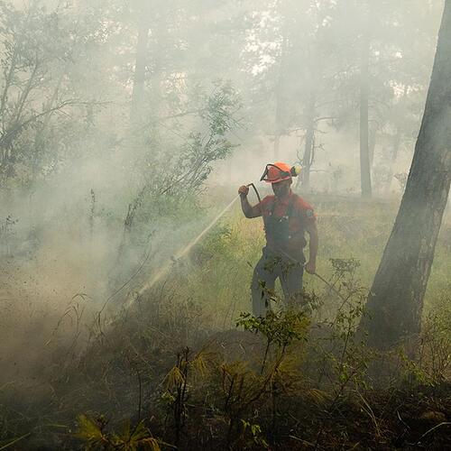
At 10:30 p.m. on Monday night, residents of Jasper, Alberta, were told to evacuate as a forest fire crept closer to their town. Despite firefighting efforts, photos and video now show many buildings in the National Park townsite have been burned to the ground.
Wildfires are becoming more frequent and intense, and fire behaviour can be hard to predict with current technology. Evacuations can be ordered with just hours’ notice to spare.
In Canada’s vast northern boreal forests, wildfires are often started by lightning and can grow for days or weeks undetected.
But three federal agencies are working on a satellite system that could help to detect fires earlier and map their behaviour with more accuracy.
The Canadian Space Agency hopes to launch WildFireSat in 2029. Data from the specially designed satellites will then be fed to Natural Resources Canada and Environment and Climate Change Canada. The federal government has committed $170 million for the project.
Ellen Whitman, a forest fire research scientist with Natural Resources Canada, said satellite data from NASA’s MODIS and VIIRS satellites are already used to track fires in Canada.
But the new satellite system is being designed for the sole purpose of detecting and tracking wildfires.
“Essentially it would always be facing Canada, instead of getting a glimpse in the morning and a glimpse in the evening, which is what we get with the other satellites that weren’t designed for this,” Whitman said.
“And then we can choose to focus it on that particular window of time where that fire behaviour is the most severe.”
Wildfires often pick up speed and intensity from 4 to 7 p.m. — a period that is not captured by current satellites.
What the BC Budget Missed on Climate Disasters
WildFireSat will be the first permanent satellite installation designed specifically for fire monitoring and will carry an instrument that measures Fire Radiative Power — “the rate of outgoing thermal energy from an active fire.”
The satellites will be able to measure the rate of fire spread and should help to improve smoke forecasts, as well as the carbon emissions from wildfires.
Human-caused climate change is causing wildfire seasons in Canada to become longer and more intense. In 2016, a devastating fire led to the evacuation of the entire town of Fort McMurray in Alberta. Since that year, entire-city evacuations and alerts have become more common. In August last year, the city of Yellowknife, with a population of 22,000 people, evacuated as the town was surrounded by fire.
The fire season of 2023 was the most destructive on record in British Columbia, with over two million hectares burned, tens of thousands of people evacuated and hundreds of structures lost.
Wildfire costs soared to over $1 billion, compared to $718 million in 2021, the next most costly year. ![]()
READ MORE: Science + Tech, Environment

